We left the respite of the Syncro river camp reluctantly but optimistic about what lay ahead. We headed back south through the Marienfluss valley and didn't go far before a fork in the road divided the group. Two cars had already taken the left fork when Salome and I went right and 3 vehicles followed. We realized we were separated when we spotted a small dust ball on the left horizon, which Salome correctly identified as the 2 leading vehicles. We stopped and contacted them by two-way radio. Yes, they had gone to the left. We had gone right because we thought the left was the road to van Zyl's pass. I zoomed out on the garmin and could see both roads reconnected in about 25-30 kilometers. Rather than turning all 4 vehicles around we agreed to meet at the intersection.
 |
| Leaving Syncro river camp in Otjinhungwe |
It didn't take long to realize the road we had taken was going on the right side of a mountain range and the other 2 cars were going on the left side. We entered a beautiful valley with small mountain ranges on both sides. It felt like magic being there. Besides being beautiful, the place had a special feeling. The outside world disappeared as we drove through the sea of straw colored grass, the morning sun hitting the western mountains and mystical shadows amongst the eastern peaks.
 |
| Western mountains catching the morning sun |
 |
| Driving into "secret" valley |
Bertie called us back on the radio and told us he thought we had taken a restricted road and that we would come out by a sign that said, "Do not enter". Could it be? There was no signboard at the junction where we first turned onto the road. I went back to the garmin and started zooming in and out to see better where we were. I noticed a large oval around the mountain range separating us from the other vehicles. As I zoomed in the words, "Holy mount Ondau. Sta....way." There were letters covered by the car symbol. As our car moved the garmin car symbol moved to reveal the words, "Stay-a-way". Bertie was right. But what could we do? We were already half way through...turning back now was not an option.
Mount Ondau is the holy spot of the Himba. It is their most sacred place. Only the most revered chiefs are buried somewhere there in the middle of 3 triangular shaped mountains.
 |
| Possible resting place of Himba chiefs? |
 |
| Passing by Holy Mount Ondau |
Both Salome and I felt bad about "trespassing" in the Himba holy area but it was an honest mistake. Salome wasn't taking any chances and started apologizing to the Himba ancestors and at the same time thanking them. We did not stop or get out of the vehicle. All my photos were taken from a moving vehicle, my apologies for that!
 |
| Rykie and Nico sheepishly read the "no entry" sign |
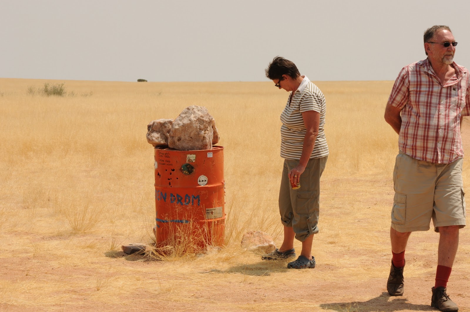
We rejoined the other 2 vehicles and headed off to the rooi drom (red drum). Sad to be leaving a beautiful spot that we felt grateful to have experienced yet at the same time knew that we would not see again. Now we knew where the road went, we would respect the off-limit area in the future.
Once we reached the red drum we turned west towards a series of intersections marked by different color drums. First we came to the blue drum, which was a tribute to man's sense of humor.
 |
Your blogger trying to get a signal
|
 |
| Oops! There is no power due to permanent "load shedding"! |
For those who don't know the term, load shedding is what South African and Namibian authorities call the planned power outages when running short on power.
 |
| Ostrich on way to orange drum |
Next we came to the very basic orange drum where we had originally planned to turn north and go up into Hartmann's valley. Due to limited petrol as well as a desire to avoid longer travel time, we decided to turn south towards Orupembe. This was a beautiful route and we started seeing a lot of game.
 |
| Martie and Leon examine the orange drum with sign pointing to green drum. We didn't go there. |
 |
| Lone Oryx |
 |
| Giraffe...somehow I'm always surprised to see them in the desert |
 |
| Oryx on an open plain...always a nice sight to see |
 |
| Springbok |
We also saw zebra but they were far away and my pictures not good. The Koakoland map said the road to Orupembe had "severe corrugations" and did it ever! We started driving on tracks along the main road...started by others also trying to avoid the corrugation. Salome and I were leading when we scared up a pair of Double-breasted Sand grouse. Salome immediately said, "they may have babies!" based on the way they were acting and we came to an abrupt stop. We got out and started looking in the grass nearby. The cars following stopped as well and I think it was Martie who spotted the first baby.
 |
| Well camouflaged baby sand grouse |
 |
| Look! There's another one!!! |
These little babies were so tiny!!! And needless to say, very difficult to spot! We reversed our vehicles and rejoined the main road. Being the bird lover I am I was always nervous after that when driving on tracks with grass in the middle.
Finally we reached Orupembe, after seeing more game, such as the Ostrich below, and we were delighted to find a shop...no petrol of course but they did have cold beer!!
 |
| More Ostrich. The dark ones are male and the light brown are female. |
 |
| Salome at shop #1 |
We looked around for shop number 2 but there didn't appear to be much else for miles...except for a few locals who watched with mild interest.
 |
| Herero woman with 2 men and a baby |
From Orupembe we took the D3707 towards Opuwo for 12 kilometers and then headed south towards Purros on the road that runs along the Khumib river. We found a nice spot in the dry river bed and set up camp for the night.
 |
| Salome and my beds set up by land cruiser and chairs ready for a campfire |


No comments:
Post a Comment